UN
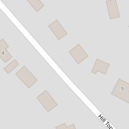
5 Hilltop Lane
£ 630,000
Description
We don't have a Description for this property.
- Bedrooms
- 2
- Bathrooms
- 0
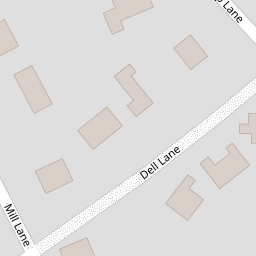

Leaflet © OpenStreetMap contributors
The heatmap indicates the level of crime in the area. The color of the heatmap indicates the crime severity and recency.
Metrics Year-on-Year
- Average area value
- 614,428.00 £Increased by 5.11 %
- Average area rental value
- 1,569.00 £/moIncreased by 44.21 %
- Est rental Yield
- 3.06 %Increased by 37.22 %
- Crime Rate
- 0.00 %
from 584,545.00 £
from 1,088.00 £/mo
from 2.23 %
from 0.00 %
Nearby Schools
| Name | Type | Ofsted | Distance |
|---|---|---|---|
| Heswall Primary School | Community School | Good | 0.94 KM |
| Barnston Primary School | Community School | Good | 1.11 KM |
| Gayton Primary School | Community School | Good | 1.38 KM |
| Heswall St Peter'S Cofe Primary School | Voluntary Aided School | Good | 1.80 KM |
| Stanley School | Community Special School | Good | 2.02 KM |
Images
Nearby Streets
| Name | Average Price | Average Sqft | Distance |
|---|---|---|---|
| Old Mill Close | £ 0 | 0 | 0.00 KM |
| Pine Wood Drive | £ 500,000 | 0 | 0.00 KM |
| Telegraph Road | £ 106,950 | 0 | 0.00 KM |
| Kingsway | £ 0 | 0 | 0.00 KM |
| Constantine Avenue | £ 0 | 0 | 0.00 KM |
Nearby Transport
| Name | NLC | TLC | Distance |
|---|---|---|---|
| Heswall | 2138 | HSW | 1.44 KM |
| Neston | 2139 | NES | 4.60 KM |
| Upton (Merseyside) | 2141 | UPT | 6.70 KM |
| Leasowe | 2237 | LSW | 9.21 KM |
| Bidston | 2136 | BID | 9.25 KM |
Nearby Listings
| Address | Price | Type | Score | Distance |
|---|---|---|---|---|
| Rhodesway, Heswall, Wirral | £ 700,000 | BUY | Unknown | 0.17 KM |
| Rhodesway, Heswall, Wirral, CH60 | £ 450,000 | BUY | Unknown | 0.18 KM |
| Border Road, Heswall, Wirral | £ 780,000 | BUY | Unknown | 0.20 KM |
| Rhodesway, Heswall, Wirral | £ 410,000 | BUY | 6 / 10 | 0.23 KM |
| Mill Lane, Heswall, Wirral | £ 485,000 | BUY | 7 / 10 | 0.25 KM |
Nearby Properties
| Address | Price | Distance |
|---|---|---|
| 5 Hilltop Lane | £ 630,000 | 0.00 KM |
| 17 Hilltop Lane | £ 485,000 | 0.00 KM |
| 9 Hilltop Lane | £ 380,000 | 0.00 KM |
| 10 Hilltop Lane | £ 395,000 | 0.00 KM |
| 12 Larksway | £ 273,000 | 0.07 KM |